
For runners · cyclists · hikers · climbers
Keep the elevation. Lose the screenshot.
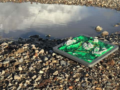
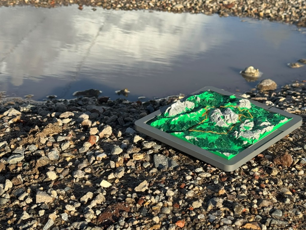
A 3D elevation map from the GPX you earned, not a generic region. A quiet keepsake of the miles that mattered.
What we make
Built from your track, not a stock region map.
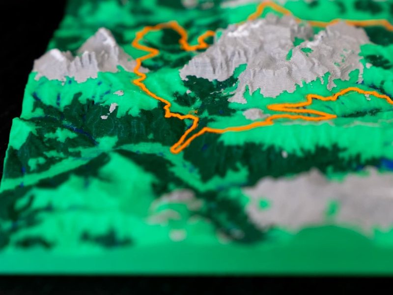
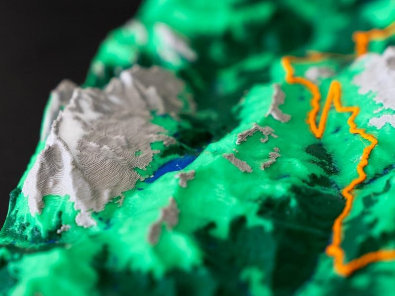
We create high-quality 3D elevation maps out of PLA, turning digitally recorded tracks into physical memories; a tangible way for athletes and outdoor lovers to celebrate their best routes at home.


Order
Send the track. We do the rest.
Your file is used only to generate this one relief and stays private to your order. Production takes us 2-3 days, then we ship worldwide from Utrecht.
Standard early bird discount
15×15 cm
€34.99
Large
20×20 cm
€90
Extra Large
25×25 cm
€115
See 3 steps below for how we print and ship.

Step 1 of 3
Get your GPX file
We only accept .gpx track files - a small GPS breadcrumb of where you went. Not a screenshot, PDF, or Strava share link. Use our interactive guide if you need some help.
Find your GPX file
Step 2 of 3
We print your track
Your GPX becomes a 3D elevation relief in PLA — Standard 15×15 cm, Large 20×20 cm, or Extra Large 25×25 cm — printed in up to six signature colors, depending on the terrain. Production takes us 2-3 days. A sleek orange line follows the route you actually took.

Step 3 of 3
Shipping - then enjoy
Packed with care in Utrecht and sent worldwide with DHL. A lasting keepsake for your dinner table, desk, or gift box: the miles you earned, made tangible.

Event organizers & clubs
Custom elevation maps for your race or club.
Order bulk editions for your recorded track: custom quotes, quick communication, and the same excellent quality as for retail.
- · Volume pricing
- · Course or athlete tracks
- · Delivered in time for race day
- · Reply within one business day
